


1 sob ferte alias buno bonneveaux

Glurps
User
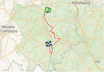

Length
26 km

Max alt
140 m

Uphill gradient
349 m
Km-Effort
31 km

Min alt
60 m

Downhill gradient
343 m
Boucle
No
Creation date :
2024-09-08 07:07:02.0
Updated on :
2024-09-08 15:44:56.918

FREE GPS app for hiking
 SityTrail
IGN / Geographical institutes
SityTrail Plus
The world is yours!
About
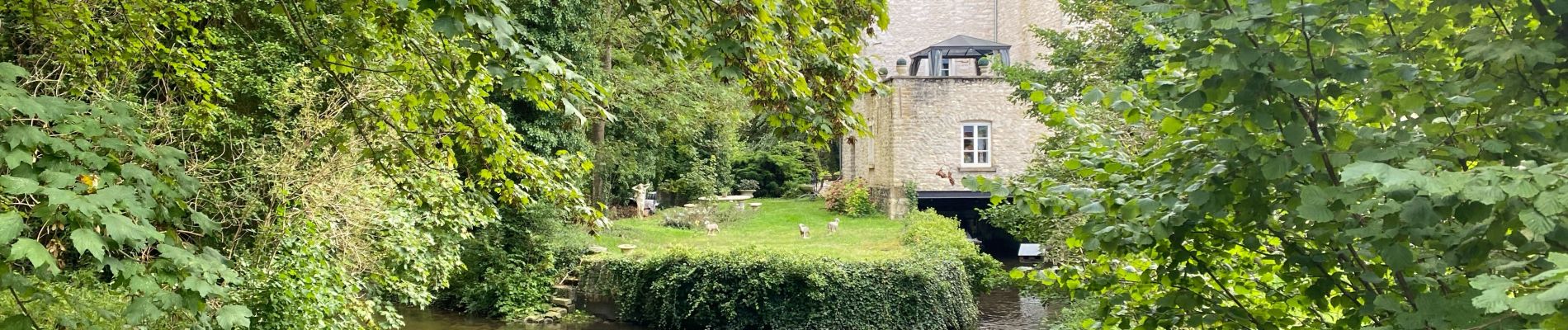
Trail of 26 km to be discovered at Ile-de-France, Essonne, La Ferté-Alais. This trail is proposed by Glurps.
Photos


Positioning
Country:
France
Region :
Ile-de-France
Department/Province :
Essonne
Municipality :
La Ferté-Alais
Location:
Unknown
Start:(Dec)
Start:(UTM)
452046 ; 5370397 (31U) N.
Comments